
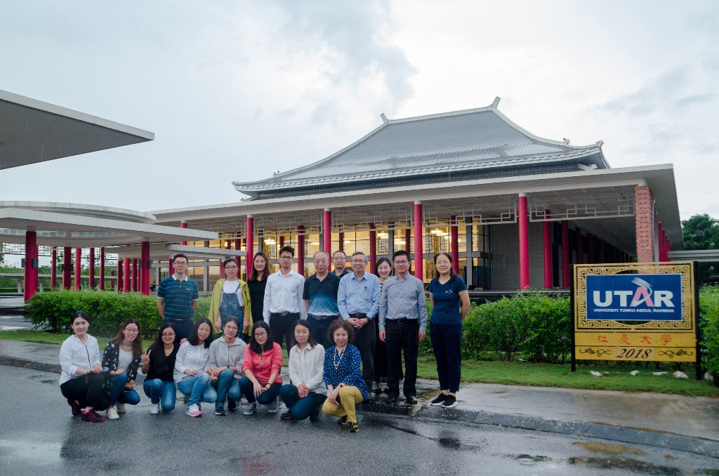
Prof Ewe (back row fourth from right) with the delegates at Dewan Tun Dr Ling Liong Sik
UTAR received delegates from China Academy of Sciences’ (CAS) Institute of Geographic Sciences and Natural Resources Research (IGSNRR) at its Kampar Campus on 29 November 2018.
The IGSNRR delegation included Researcher Prof Liu GaoHuan, Assistant Researcher Assoc Prof Dr Huang Chong, Assistant to Professor Assoc Prof Dr Yan JinFeng, Engineer Lu XiaoJuan, Administrative Dr Fu Dongjie, Dr Li He, Dr Wang ZhiHua, and 10 PhD students.
Representing UTAR in receiving the delegates was UTAR Vice President for Internationalisation and Academic Development Prof Ir Dr Ewe Hong Tat. He was accompanied by Division of Community and International Networking (DCInterNet) Director Assoc Prof Dr Lai Soon Onn and Deputy Director Dr Chen I-Chi, Faculty of Information and Communication Technology Deputy Dean for R&D and Postgraduate Programmes Prof Dr Leung Kar Hang, Faculty of Science Deputy Dean for R&D and Postgraduate Programmes Dr Phoon Lee Quen, and Faculty of Engineering and Green Technology lecturer Lee Yu Jen. Also joining the meeting via video conference from UTAR Sungai Long Campus was Institute of Postgraduate Studies and Research Director Assoc Prof Dr Yong Thian Khok.
Introducing UTAR as a 16-year-old comprehensive private university offering programmes in the fields ranging from STEM to Business and Social Science, Prof Ewe said, “UTAR is also a research-focused university as reflected by our commitment in establishing 32 research centres. The close relationship between Malaysia and China following the ‘One Belt One Road’ initiative has also prompted us to set up the Belt and Road Strategic Research Centre to carry out strategic research and training related to the initiative’s development in Malaysia.”
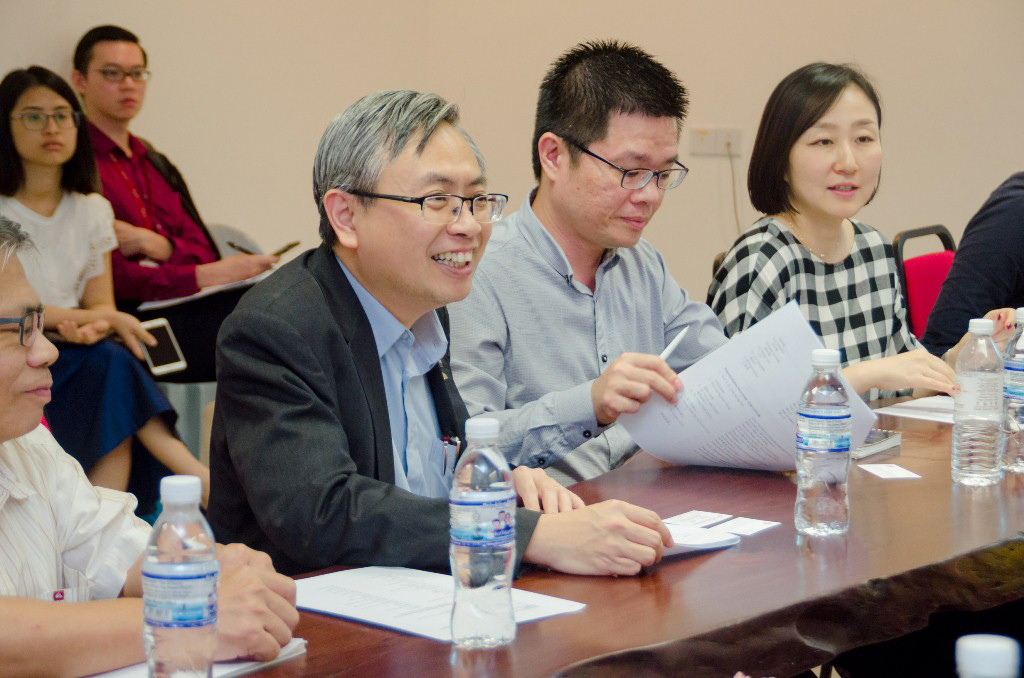
Prof Ewe welcoming the delegation to UTAR
Expressing his honour and delight on IGSNRR’s maiden visit to UTAR, Prof Liu explained that UTAR Kampar Campus is the delegation’s first stop in their nine-day fact-finding mission in Malaysia. Also introducing themselves as members of IGSNRR’s State Key Lab of Resource and Environment Information System (LREIS) and stating their intention to collaborate with UTAR on mutual research interests, the IGSNRR Researcher then presented the institute’s background. “IGSNRR plays a leading role in research on physical geography, human geography, geographic information system (GIS), resource sciences and ecology with ecosystem in China. We are also a major think tank and talent pool on regional development, resources utilisation, environmental remediation and ecological civilisation construction in China,” Prof Liu presented, adding that IGSNRR envisions building a world-class integrated research institution in the areas of geographical sciences, resource science and ecological environment. He also continued to introduce IGSNRR’s staff and research strengths, education programmes such as PhD and Master programmes ranging from physical geography to agricultural economic management, lab facilities as well as data sharing platforms.
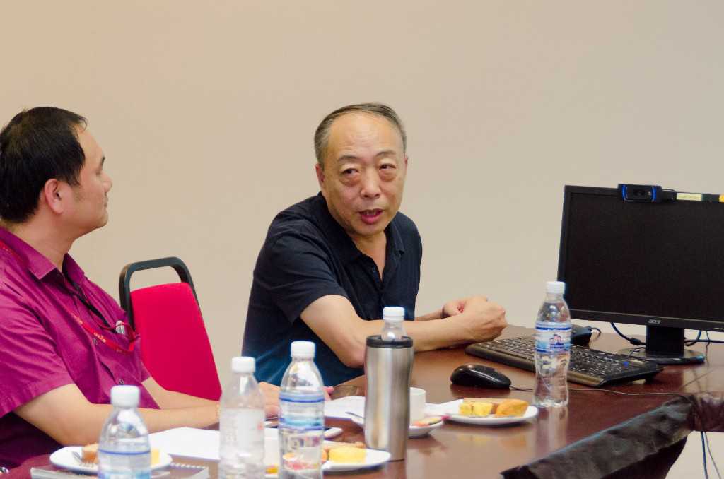
Prof Liu explaining the background of IGSNRR as well as LREIS
On IGSNRR’s international collaborations, Prof Liu mentioned that the institute looks forward to strengthening partnerships with developing countries and geostrategic neighbouring countries as witnessed by the 31 memoranda of understanding inked over the five years with 18 of them are neighbouring developing countries. “In line with the Chinese government’s Belt and Road Initiative, IGSNRR’s collaboration also places emphasis on research areas related to the Belt and Road geostrategic systems and analysis. The other research areas we are keen in include climate changes and environmental health, regional studies and urbanisation, ecological adaptation and South-South cooperation, food waste and its integrated effects, as well as rural education development.
Continuing on the LREIS’s achievements and breakthroughs over the past 30 years, Prof Liu said, “The major research areas of LREIS include theories and methods of GIS as well as frontier technology and application. This has also enabled us to develop the key technologies and promote the development of domestic GIS. Among some of our achievements throughout these years include receiving about 120 national and provincial awards, published 160 books, filed 92 patents and others.” He also touched on LREIS keenness in academic exchanges and collaborations as reflected in the success of hosting the 10th IAPR Workshop on Pattern Recognition in Remote Sensing and the Second International Workshop for Disaster Risk Reduction Knowledge Service as well as organising academic lectures.
On behalf of LREIS, Dr Wang also presented the potential collaborative areas such as researching the usage of remote sensing and GIS in Land-Use and Land-Cover Change (LUCC), biodiversity and ecological security, coastal zone development management and disaster prevention.
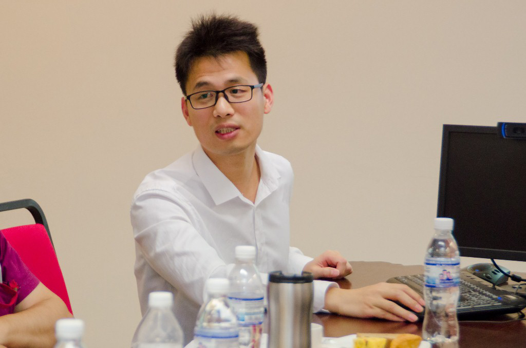
Dr Wang presenting the list of potential collaborations between LREIS and UTAR
An expert in microwave remote sensing, Prof Ewe also gave a brief presentation on his findings titled “Remote Sensing of Environment: From Modelling to Applications” so as to identify mutual research areas. Also an Academy of Science Malaysia Fellow, Prof Ewe revealed that in the advent of the Fourth Industrial Revolution, remote sensing can also be integrated with Big Data Analytics as well as Internet of Things (IoT). Sharing his experiences of carrying out remote sensing of sea ice in Antarctica and of vegetation, Prof Ewe added, “The links among image analytics, model development and remote sensing applications need to be strengthened. Microwave remote sensing of crops such as rice and oil palm is also essential because the applications developed for yield prediction, growth status monitoring and disease detection will benefit the farmers and agricultural community by and large.”

Prof Ewe presenting his research finding on the applications of microwave remote sensing and sharing his experiences in carrying out the research
He then extended the invitation to the delegates to join the International Geoscience and Remote Sensing Symposium (IGRSS) 2022 hosted by UTAR and the IEEE Geoscience and Remote Sensing Society Malaysia.
The meeting ended with a souvenir presentation session and campus tour.
IGSNRR is a multidisciplinary research institute focusing on, among other things, physical geography and global change, human geography and regional development, natural resources and the environment, geographical information systems and surface simulation, the terrestrial water cycle and water resources, ecosystem network observation and modeling, and Chinese agricultural policy. Through research in these domains, the institute aims to solve major natural resource and environmental problems related to national sustainable development and improve its own innovative capacity at the same time.
The institute is also home to the State Key LREIS; the CAS Key Laboratory of Water Cycle and Related Land Surface Processes; the CAS Key Laboratory of Ecosystem Network Observation and Modeling; and the CAS Key Laboratory of Sustainable Regional Development and Modeling. It also supports two national field observation stations, namely the ChinaFLUX observation station at Yucheng, Shandong Province, and the Lhasa Plateau Ecological Research Station. In addition, IGSNRR has a Physical and Chemical Analysis Center and five specialized laboratories. These facilities provide excellent conditions for scientific research and observation.
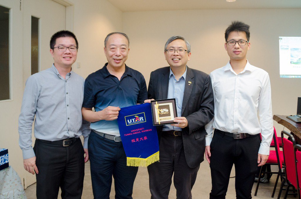
Prof Ewe (second from right) presenting souvenirs to Prof Liu while Dr Lai (most left) and Dr Wang look on
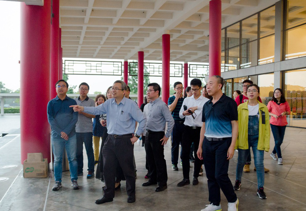
The delegates learning about the significance of the Dewan Tun Dr Ling Liong Sik’s architecture from Prof Ewe
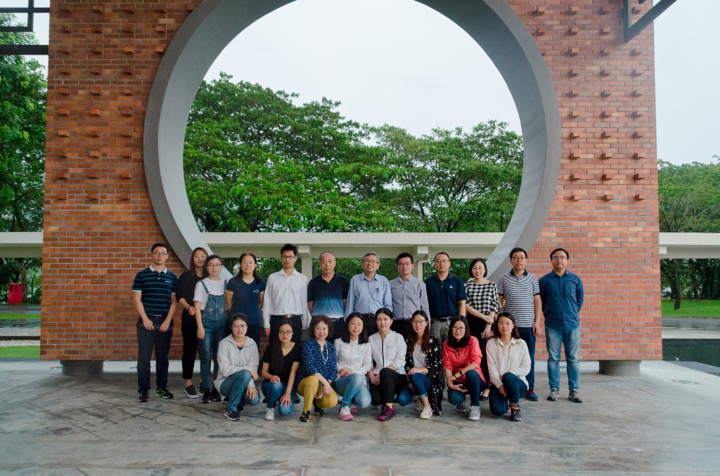
The IGSNRR delegates with Prof Ewe (back row, sixth from right)
© 2019 UNIVERSITI TUNKU ABDUL RAHMAN DU012(A).
Wholly owned by UTAR Education Foundation Co. No. 578227-M LEGAL STATEMENT TERM OF USAGE PRIVACY NOTICE