
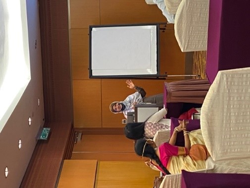
The International Geoscience and Remote Sensing Symposium (IGARSS) was held from 17 to 22 July 2022 at Kuala Lumpur Convention Centre. Organised for the first time in Malaysia, the six-day symposium featured a wide range of activities that allowed participants to share knowledge and experience on recent developments and advancements in geoscience and remote sensing technologies. One of the activities included the TIE (Technology, Industry, and Education) Programme, which aimed to stimulate in-depth discussion of various topics from funding opportunities to geospatial business startups, women in engineering, geoscience and remote sensing technologies. The programme took place in a hybrid mode allowing both local and international participants to take part either online or physically.
The first session was held by Scientific Officer Earth System Science Dr Nicholas Sifakis from the European Research Council (ERC). He spoke about the funding opportunities offered by the European Research Council. According to Dr Nicholas Sifakis, the ERC supports frontier research in Europe by selecting and funding excellent scientists and their new ideas. He also shared the achievements of ERC since its establishment in 2007. “The ERC was established by the European Commission and it was established as a body independent of political interventions. It was designed to be governed by science. So, its strategy is defined by the scientific council, composed of prominent European scientists,” he explained. He then proceeded to share about the uniqueness of the ERC grants as well as its evaluation criterion and evaluation process. He also explained the types of grants offered by ERC, the requirements and the resubmission rules besides sharing some insider tips to the applicants.
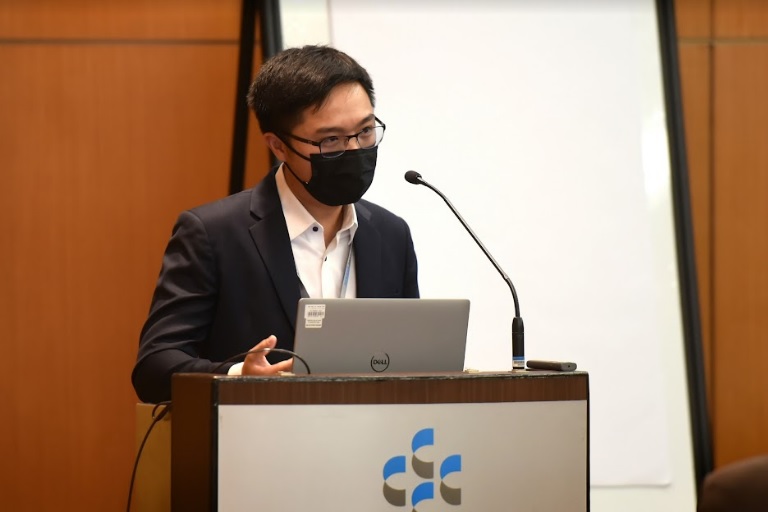
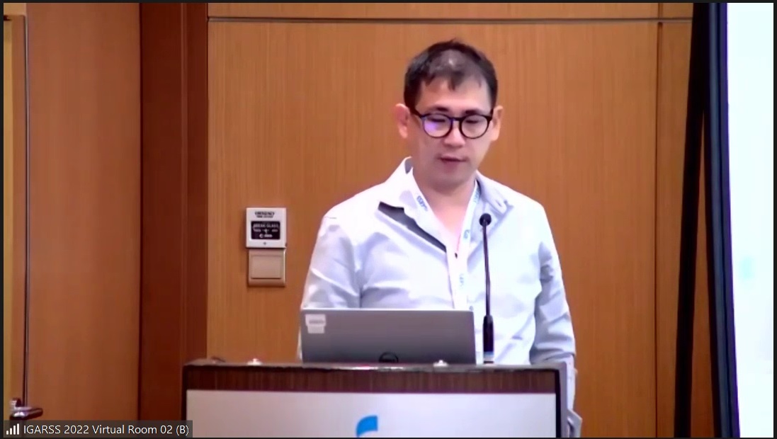
Cheong explaining the future plan of his company
The second session titled Geospatial Business Startup Workshop: Asia Pacific Region saw various company CEOs assembling to share their inputs about starting a business in the aforementioned area. The speakers who were present to share their inputs were Synspective Founder and CEO Motoyuki Arai, AONIC CEO Cheong Jin Xi and LatConnect 60 Pty Ltd Founder and CEO Venkat Pillay. The session was moderated by Kevin Cobley. The speakers began the session by sharing their personal backgrounds and providing an overview of their respective companies. Each of the speakers also took the opportunity to share with participants their start-up journey and explain the current status of their respective companies. Other than that, they also briefed about their companies’ vision and mission and shared the companies’ future plans. Before ending their respective session, they shared some key takeaways with the participants.
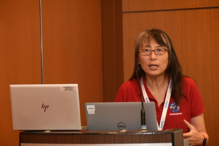
Florence Tan explaining the Global Ecosystem Dynamics Investigation (GEDI)
Florence Tan, chair of the Small Spacecraft Coordination Group (SSCG) at the National Aeronautics and Space Administration (NASA) headquarters and the deputy chief technologists (DCT) for NASA’s Science Mission Directorate (SMD) presented her topic titled Game -Changing Science with SmallSats and Hosted Payload on 19 July 2022. In her session, Florence Tan spoke about global temperature anomalies, the changes in sea level, NASA earth observing fleet, various types of earth observations, the fundamentals of small spacecraft spectrum of satellite development, vision for small mission science, SMD Rideshare Strategy, SmallSat programme opportunities and other related areas of similar interest.
She said, “In the earth system observatory, we look at clouds, convection and precipitation, aerosols, surface deformation and change, surface biology and geology as well as mass change. SmallSat is a spacecraft that is interface compatible with a SPA Ring, a dedicated small or medium-lift launch vehicle with an upper mass limit of approximately 500kg.”
Clockwise from left: Takeo Tadono, Veraldo Liesenberg, Susmita Ghosh, Norliza Mohd Noor and Feng Xu
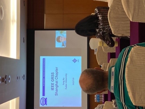
On the third day of the programme, a forum titled Geoscience and Remote Sensing Society (GRSS) Chapter Panel Discussion and Women in Engineering Forum was conducted over three sessions for the participants. The sessions were moderated by Prof Mousmi Ajay Chaurasia from Muffakham Jah College Engineering and Technology, Hyderabad, India and Stephanie Tumampos from the Technical University of Munich. Session one saw five speakers presenting the best practices of GRSS Chapters and their initiatives. The speakers consisted of Veraldo Liesenberg from GRSS Brazil Chapter Chair: UDESC, Brazil; Susmita Ghosh from GRSS Kolkata Chapter Chair; Takeo Tadono from Japan Aerospace Exploration Agency; Feng Xu from GRSS Shanghai Chapter Chair Fudan University, China and Norliza Mohd Noor from Universiti Teknologi Malaysia Kuala Lumpur Campus. Session two of the forum was titled Women in GRSS: A panel discussion on “Land to Space”. It featured four distinguished speakers, namely Director of Google Earth, Earth Engine & Outreach Ms Rebecca Moore; Lead Hyperspectral Scientist at Planet Labs Keely Roth; Alejandro Frery from Victoria University of Wellington New Zealand and Takako Hashimoto from the Chiba University of Commerce, who shared their life journeys and experiences.
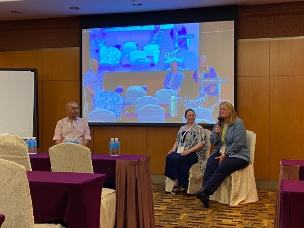
Director of Google Earth, Earth Engine & Outreach Ms Rebecca Moore (most right) during the panel discussion on “Land to Space”
The last session of the forum featured a 20-minute talk by Norma Alias from University Technology Malaysia and Ronny Hänsch from German Aerospace Centre (DLR). In her talk titled GIS Model Application in Big Data Analytics on HPC, Norma shared her experience of using big data analytics. She also shared the roadmap to data analyses; data-driven models; GIS and its applications; AI and its background; types of data, etc. Ronny, on the other hand, shared the needs for remote sensing; data augmentation and synthetic data; ways to address the scarcity of annotated data; learning transcoding, etc, in his talk titled Self-Supervised Learning in Remote Sensing.
Norma Alias (left) and Ronny Hänsch (right) during the last session of the forum
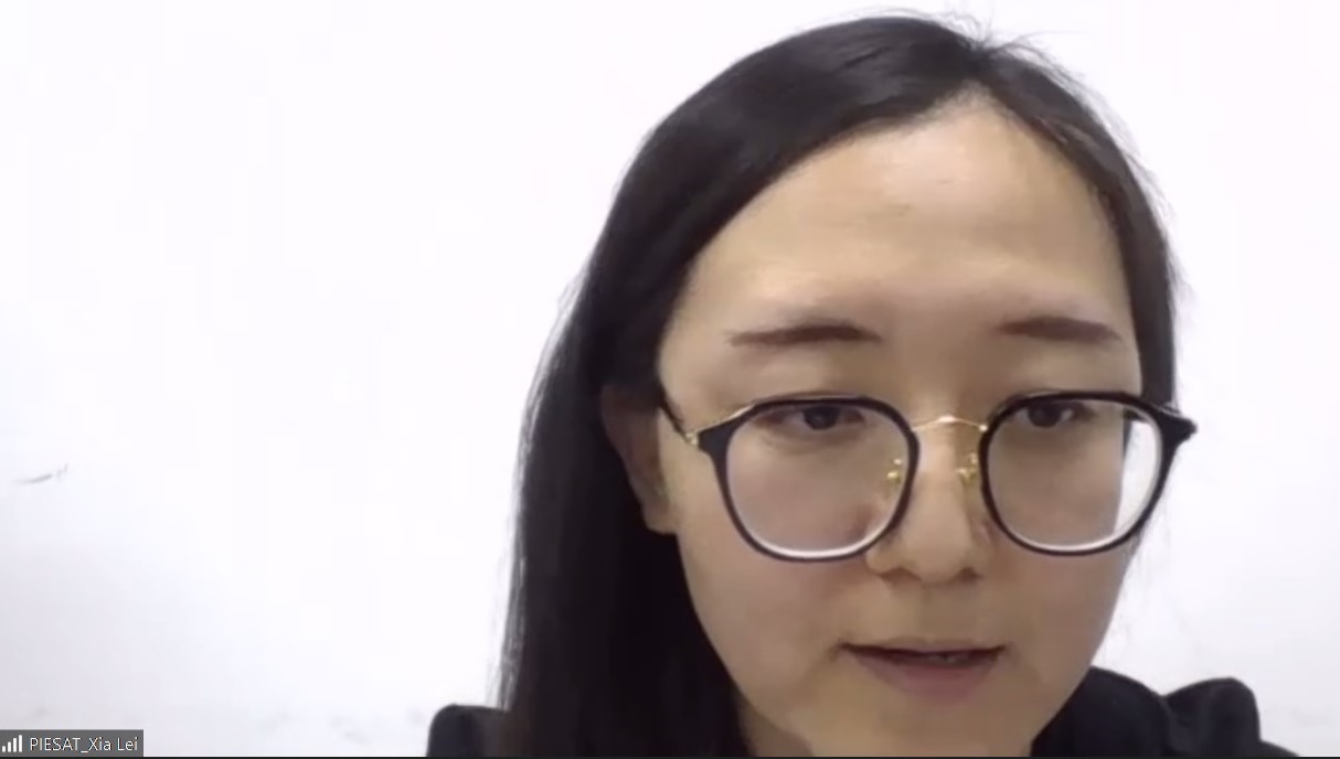
Dr Lei Xia
Dr Lei Xia from PIESAT Information Technology Co., Ltd gave a talk titled A Memory Block Stream Chain Based High-Speed Remote Sensing Image Processing Technology and Its Application via Zoom on 21 July 2022. She provided an overview of High-Performance Computing (HPC) technology and discussed its applications such as aerial triangulation and orthorectification, DEM edit and DOM update, true colour band combination, automatic colour adjustment, and accuracy check. She mentioned that the HPC solution is an overturn of traditional remote sensing image processing. “The technology is not only suitable for remote sensing image production, but it can also be referred by other data analysis processes requiring cumulative multi-step processing,” she said.

Cheang Teik Koon
The session continued with another presentation by Mr Cheang Teik Koon, the founder of Agritix. In his presentation, titled Remote sensing in farming: The present and the future, he talked about how remote sensing can be utilised in plantations, as well as the future of remote sensing in the agriculture industry. He gave the pros and cons of using satellites and drones in plantations, and shared the efficiency of remote sensing in agricultural monitoring. “Basically, all remote sensing now has is earth observations. You have drones or satellites that emerge from the top of trees. So, I’d personally like to see something that gives input from below. It can be drones that fly under a canopy, to see from below, or it could be a rover that goes on the ground and through the entire plantation. You’d be able to see more from the bottom up like trees, trunk roots and fruits of the trees,” he said.
Dr Liew Soo Chin
The next presentation titled, Biomass Burning: Air Quality, Climate Change and Sustainability, was given by Dr Liew Soo Chin, the principal research scientist and head of research at the Center for Remote Imaging, Sensing and Processing (CRISP), National University of Singapore (NUS). Talking about a recurring environmental problem in Southern Asia—biomass burning, he mentioned that the land clearings associated with large-scale commercial plantation activities, in the past few decades, have made the problem worse. According to him, during periods of drought, especially the El-Nino years, fires get out of control resulting in severe transboundary smoke haze pollution. Besides, he shared examples of biomass burning and how satellites detect fires and haze. He also explained the factors influencing fires which were human activities and climate, and said that these two were not necessarily independent. “Decision to burn is highly affected by weather conditions, especially precipitation,” he said.
On the other hand, NUS CRISP Senior Research Scientist Dr Santo V. Salinas shared his insights in his presentation titled Monitoring the South-East Asia Atmospheric Environment: From Satellites to Ground Instruments. He mentioned that the exponential growth of human activities has dramatically incremented the amount of anthropogenic emissions to the atmosphere, and this can readily be observed as a persistent aerosol layer found over large cities worldwide. He summarised that remote sensing remains the best tool to monitor the South-East Asia region. He also highlighted the importance of understanding the local and regional meteorology and identifying emission sources, as well as the importance of training local and regional scientists since their expertise is needed by policymakers.
Prof Andy Chan Tak Yee
The next presenter was Prof Andy Chan Tak Yee, the Interim Dean of Research and Knowledge Exchange (RKE), University of Nottingham Malaysia. In his presentation titled Effect of atmospheric-oceanic dynamics on surface air temperature and rainfall anomalies over Southeast-Asia in 2015, he first talked about the background and motivation of forest fires and air pollution index in Malaysia. He also talked about the negative impacts of haze pollution and explained the dynamic atmospheric events such as El Niño-Southern Oscillation (ENSO) and Indian Ocean Dipole (IOD). According to him, the biomass burning episode of 2015 in Southeast Asia was strongly influenced by the concurrence of the ENSO and the positive IOD phenomena. There were increased surface air temperatures that made the Maritime Continent surroundings a hotbed. He noted that the 2015 episode in Maritime Continent was intensified by interconnected and interdependent climate phenomena. He mentioned that more studies, particularly for the 2015 episode, still need to be conducted to gain more detailed information.

Dr Chew Boon Ning
Last but not least, Dr Chew Boon Ning, the head (Weather Modelling Applications) at the Centre of Climate Research Singapore, National Environment Agency (NEA) gave a sharing of the outcomes of an international workshop organised by the World Meteorological Organisation (WMO) and the International Biomass Burning Initiative (IBBI) during his presentation on Southeast Asia VFSP-WAS — Supporting Sustainability in the Region. He explained that WMO initiated VFSP-WAS in response to requests for assistance in smoke-impacted regions. “There were two WMO VFSP-WAS regional centres launched in the R&D phase. The first one was established in Southeast Asia and hosted by ASEAN Specialised Meteorological Centre (ASMC) in 2019; the second one was in North America, hosted by Environment and Climate Change Canada (ECCC) in 2020,” he said. He also shared how VFSP-WAS supports the Regional Fire Management Resources Centers (RFMRCs) in terms of advising and enabling regional, national and local actors to develop fire management policies and implement strategies.
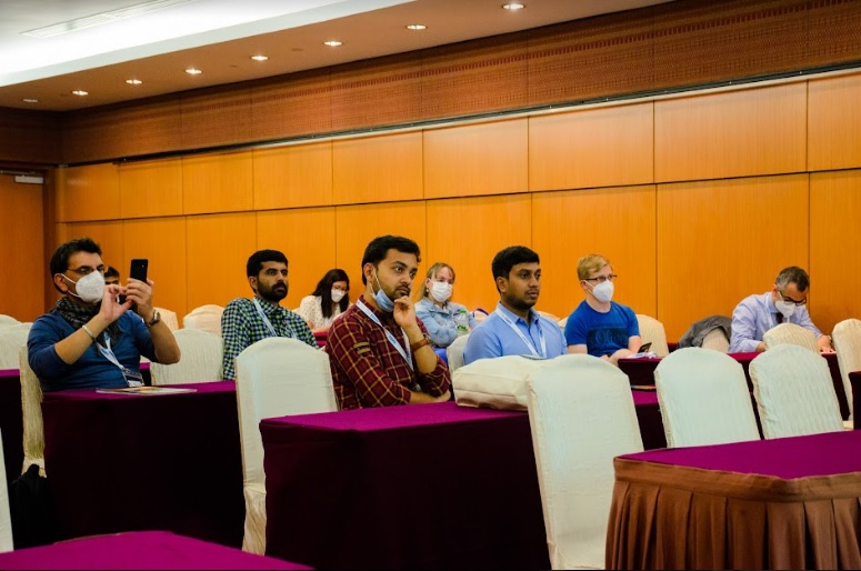
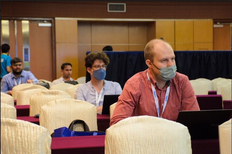
Participants at the TIE programme
© 2022 UNIVERSITI TUNKU ABDUL RAHMAN DU012(A).
Wholly owned by UTAR Education Foundation (200201010564(578227-M)) LEGAL STATEMENT TERM OF USAGE PRIVACY NOTICE